ENG
A GEODATABASE OF SITES ALONG THE ITALIAN FRONT LINE WW I
“… However, the man who busies himself with the description of the Earth must needs speak, not only of the facts of the present, but also sometimes of the facts of the past, especially when they are notable.” (Strabo, Geography VI.1.2)
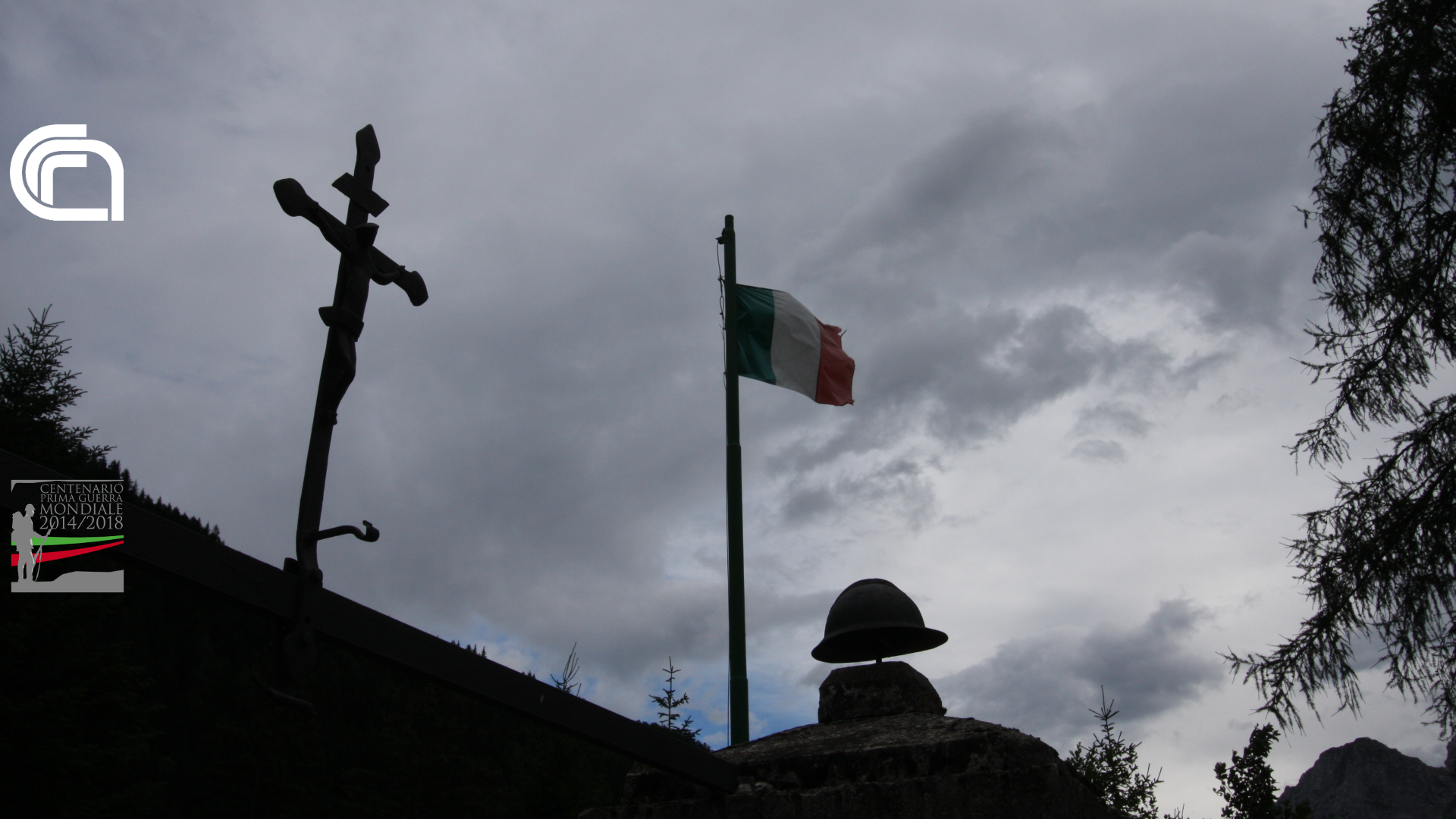
The memory of the WWI along the Italian front is bonded to symbolic places and sites as Pasubio, Grappa, Montello, Caporetto, evocative names of positive and negative events for the Regio Esercito Italiano (Royal Italian Army). But zooming out, we instantly realize that the knowledge of the places involved by WWI is very little and, excluding the domain experts, it is usually restricted within the Italian regional and provincial borders.
This website presents the results of one institute of the Italian National Research Council (CNR-IIA) activities concerning the development of an integrated system to identify, archive, manage and spread the geographic information regarding the places related to the operations of the Italian Army during the First World War. This research activities have been supported and financed by the Italian Presidency of the Council of Ministers.
The dynamic reconstruction of the historic events, obtained through the geographic information technologies, represents an alternative way to understand what is written in documents and reports by the events’ witnesses. It is important to have a complete geographic scenario and at the same time have the possibility to zoom in to highlight the information connected to really meaningful small areas.
Main characteristics:
Developed with open-source GIS tools supported by Web Map Services (WMS)
Geographic coverage ranging from Passo dello Stelvio (Stilfser Joch) to Trieste’s Karst and the area of the Second Battle of the Marne in France.
The information about the names of places are being managed keeping in mind also the multilingual aspect (Italian, German, Slovenian and local names).
The goals are the following:
- Research and identification of the sites
- Creation of a geodatabase to archive the sites with their coordinates
- Creation of a Geographic Information System (GIS)
- Representation in vector format of the various movements of the front line from the beginning to the end of the war
- Development of an online version of the GIS (webGIS) to allow access to the information through the web.
- Creation of vector and raster layers to be used for the creation of thematic cartography
The already identified sites are at present 14,485 located all over the territory of 36 States. Considering the Italian territory 19 regions have been involved by the research.